Whether you sail a sloop, motorboat or sailboat (large or small), navigation is an essential part of safe and responsible boating. Although a boating licence is not compulsory for boats shorter than 15 metres and not travelling faster than 20 km/h, you do have a legal obligation to know the sailing rules. For example, you need to know who has the right of way, how to act at bridges and locks, and how to moor or turn around safely.
In addition, it is important that you know where you may sail, which bridges and locks you will encounter along the way and at what times these are operated. So good preparation and up-to-date information on the road are indispensable.
Table of contents
Navigation is more than just maps
Navigation covers several aspects:
Waterkaarten (digital and paper)
Meteorology (weather, tides, currents)
Communications (such as VHF/VHF, AIS, lighting and day marks)
Positioning (e.g. via GPS or a sextant)
In this article, we focus mainly on water charts and navigation software.
Paper water charts: still indispensable
Although you may prefer to navigate digitally, it is wise to always have a set of up-to-date paper water charts on board. They are essential in case of power failure or malfunction of your electronic equipment.

Tips:
- Check annually that your cards are still up to date.
- Are you sailing at sea? Then note your position on the chart at least every 6 hours.
- Learn the basics of map reading and positioning, e.g. with a course plotter and compass.
Sextant: traditional, but instructive
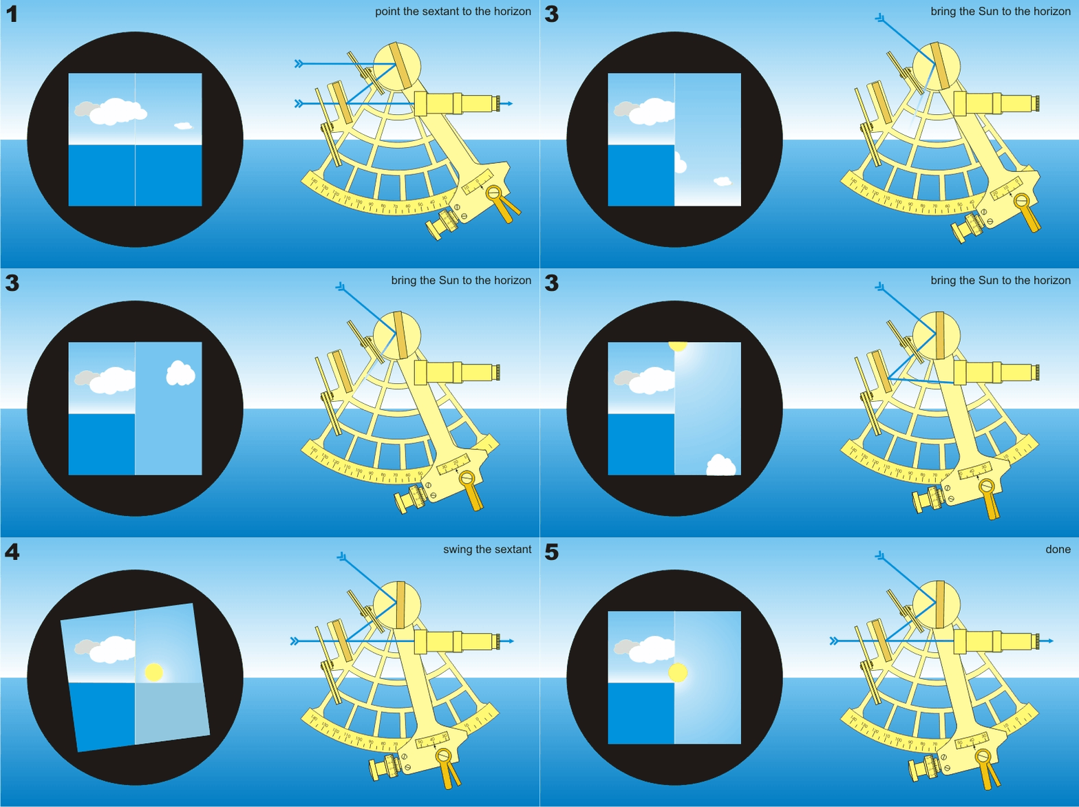
A sextant is still rarely used in pleasure cruising, but it is a valuable tool for using the sun and time to determine your position on earth. For distant sea sailors or lovers of traditional navigation, it is an exciting and instructive addition.
Note: using a sextant correctly takes practice and knowledge of navigation tables.
Digital water charts and navigation apps
These days, you have the luxury of digital navigation: the "TomTom" of the water. With GPS and software, you can see exactly where you are, plan routes and access all kinds of useful information.
Popular apps and software
These days, you have the luxury of digital navigation: the "TomTom" of the water. With GPS and software, you can see exactly where you are, plan routes and access all kinds of useful information.
Common functions:
- GPS position in real time
- Automatic route calculation
- ETA (estimated time of arrival)
- Integration with weather information
- Bridge operating times and obstructions
- Look up VHF radio channels
- Live tracking for family or friends
Make sure your maps are updated regularly and keep your device waterproof and charged. Preferably use an external GPS receiver for extra accuracy.
What devices do I need to navigate with digital water charts?
Digital navigation is more accessible than ever these days. You can already start via a smartphone with a navigation app, but for serious trips - especially on big water or at sea - it is wise to think carefully about your equipment.
Minimum requirements:
A screen
Smartphone, tablet, laptop or chartplotter.
Navigation software or app
For example, Navionics, OpenCPN, Waterkaarten App, Savvy Navvy, etc.
GPS reception
Via the built-in chip or an external GPS receiver (for laptops or WiFi-only tablets).
Internet connection (temporary)
For downloading maps and updates. No internet is needed while sailing, unless you want to use live data (such as weather or AIS). At sea, mobile internet usually doesn't work - unless you have satellite internet.
Power supply
Navigating consumes a lot of energy. Make sure you have good power via an on-board battery, power bank or inverter.
Chartplotter, tablet or smartphone?
Digital navigation is more accessible than ever these days. You can already start via a smartphone with a navigation app, but for serious trips - especially on big water or at sea - it is wise to think carefully about your equipment.
Smartphone
✅ Inexpensive and always at hand
✅ Suitable for easy cruising on inland waterways
❌ Small screen, limited overview
❌ Vulnerable to water, overheating
❌ Less suitable for longer or complex tours
Tablet
✅ Big screen, lots of apps available
✅ Often built-in GPS (watch out for WiFi-only models!)
✅ Ideal for inland and coastal navigation
❌ Not always waterproof without cover
❌ Regular charging required
❌ Poorly readable in bright sunlight
Tip: Opt for a tablet with cellular functionality (4G/5G) - it usually includes a GPS chip.
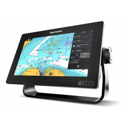
Chartplotter
✅ Specially developed for maritime navigation
✅ Waterproof, shockproof and easy to read in sunlight
✅ Linkable to AIS, depth sounder, VHF radio
❌ More expensive to buy
❌ Less flexible in terms of apps and updates
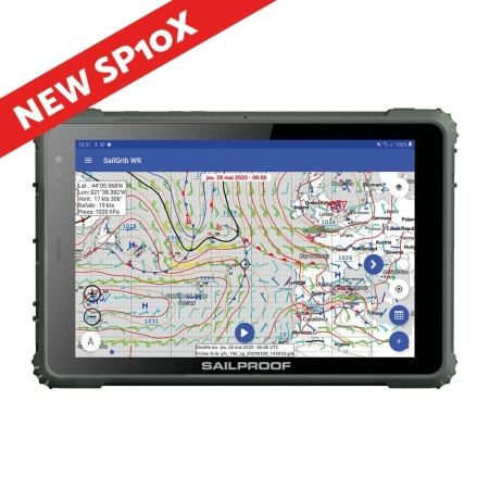
Sailproof (navigation tablet on Android)
✅ Waterproof, robust and sunlight-resistant
✅ Runs on Android: freedom of choice in apps
✅ Multiple price ranges available
✅ Combines advantages of tablet and chartplotter
✅ Directly linkable to AIS and other instruments
❌ Lesser-known brand (but growing strongly in the sailing world)
Additional equipment
Depending on your cruising area and ambitions, you might consider supplementing your equipment with:
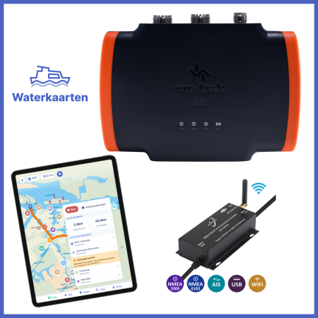
AIS transponder - For visibility of shipping traffic and your own visibility to others. Read our blog where we explain AIS.
External GPS - For better accuracy, especially on laptops or WiFi tablets.
VHF VHF radio - For communication and distress signals, mandatory at sea. Read more or marine telephony.
Motor data converter - For displaying RPM, temp, etc...
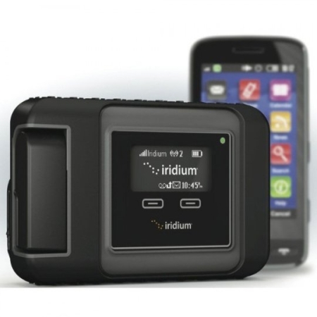
Satellite communications - For global accessibility (e.g. Iridium GO!).
Internet on board - Read our blog on internet on the boat.
Useful apps on the go
Besides the navigation apps mentioned, these are useful additions:
Sea weather: For KNMI sea weather reports
Windy: Visual weather and wind forecasts
KNRM Helps: Emergency safety app
Waterplants.nu: Reports and maps of aquatic plants
Bathing water: Official info on swimming locations
Waterinfo RWS: Water levels, obstructions and controls
Navily: For marina information and reviews
NoForeignLand: Social map for sailors worldwide
SeaPeople: Cruisers community (new!)
Which setup suits me?
We understand that the sheer number of choices can sometimes make you lose track. What do you really need? What can you save on? And where not? Feel free to contact us for personal advice.
Below are three setups:
Motor boat on inland waterways
Budget option
- Smartphone with Waterkaarten.app
- AIS receiver or transponder with WiFi
-
Deal!
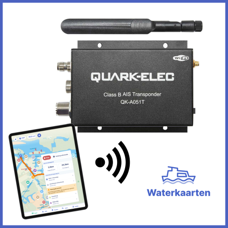
Waterkaarten App Deal: A051T AIS Transponder with WiFi
0 Reviews€ 649,00Oorspronkelijke prijs was: € 649,00.€ 589,00Huidige prijs is: € 589,00. -
Deal!
Waterkaarten App Deal: AIS and GPS on your tablet or smartphone
0 Reviews€ 289,00Oorspronkelijke prijs was: € 289,00.€ 249,00Huidige prijs is: € 249,00.
Ideal setup
- Sailproof tablet
- AIS Transponder with WiFi
-
Deal!
Waterkaarten App Deal: A052T 5W SODTMA AIS Transponder with WiFi
0 Reviews€ 759,00Oorspronkelijke prijs was: € 759,00.€ 709,00Huidige prijs is: € 709,00. -
Deal!
Waterkaarten App Deal: Sailproof SP10S Tablet + Railblaza
0 Reviews€ 1.049,00Oorspronkelijke prijs was: € 1.049,00.€ 909,00Huidige prijs is: € 909,00.
Sailing boat on (large) lakes and coastal waters
Budget option
- Tablet (with GPS) with Navionics or OpenCPN
- AIS receiver with GPS antenna
-
Deal!
Quark-Elec Navigation and AIS on your Tablet
0 Reviews€ 189,00 - € 269,00Prijsklasse: € 189,00 tot € 269,00Winkelmand Dit product heeft meerdere variaties. Deze optie kan gekozen worden op de productpagina
Ideal setup
- Sailproof tablet
- AIS Transponder
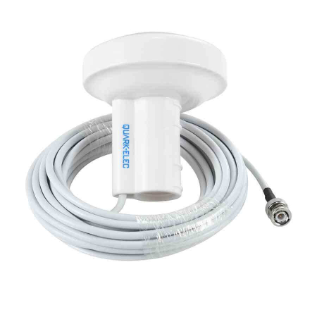
- GPS antenna
- Internet
-
Deal!
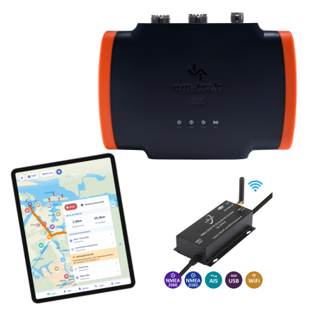
Em-Trak B923 AIS Transponder + Quark-Elec A32 WiFi NMEA(2000) converter
0 Reviews€ 1.239,00Oorspronkelijke prijs was: € 1.239,00.€ 859,00Huidige prijs is: € 859,00. -
Deal!
Sailproof SP10S 10-inch Android rugged tablet
0 Reviews€ 955,00Oorspronkelijke prijs was: € 955,00.€ 899,00Huidige prijs is: € 899,00. -
Deal!
Quark-Elec R041 Wireless 4g LTE router
0 Reviews€ 399,00Oorspronkelijke prijs was: € 399,00.€ 379,00Huidige prijs is: € 379,00. -
World tour (offshore & ocean)
Budget option
- Chartplotter
- External GPS
- AIS Transponder
- Internet: Iridium Go!
-
Deal!
Quark-Elec A052T 5W SODTMA AIS Transponder with WiFi
0 Reviews€ 759,00Oorspronkelijke prijs was: € 759,00.€ 719,00Huidige prijs is: € 719,00. -
Deal!
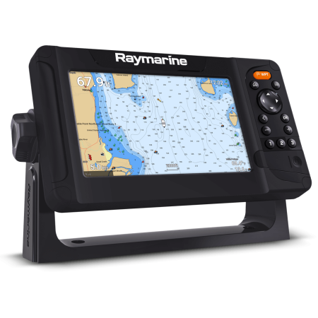
Raymarine Element 7S
0 Reviews€ 719,00Oorspronkelijke prijs was: € 719,00.€ 495,00Huidige prijs is: € 495,00. -
Ideal setup
- Sailproof tablet
- Professional chartplotter
- AIS Transponder
- External GPS
- Internet: Iridium Go! or Starlink
-
Deal!
Em-Trak B954 5W AIS Transponder + WiFi + Bluetooth
0 Reviews€ 1.599,00Oorspronkelijke prijs was: € 1.599,00.€ 1.069,00Huidige prijs is: € 1.069,00. -
Sailproof SP10X 10-inch top-of-the-range Android rugged tablet
0 Reviews€ 1.125,00 - € 1.309,00Prijsklasse: € 1.125,00 tot € 1.309,00Winkelmand Dit product heeft meerdere variaties. Deze optie kan gekozen worden op de productpagina -
Deal!
Raymarine AXIOM 9 plus + Western Europe Lighthouse chart
0 Reviews€ 1.799,00Oorspronkelijke prijs was: € 1.799,00.€ 1.589,00Huidige prijs is: € 1.589,00. -


